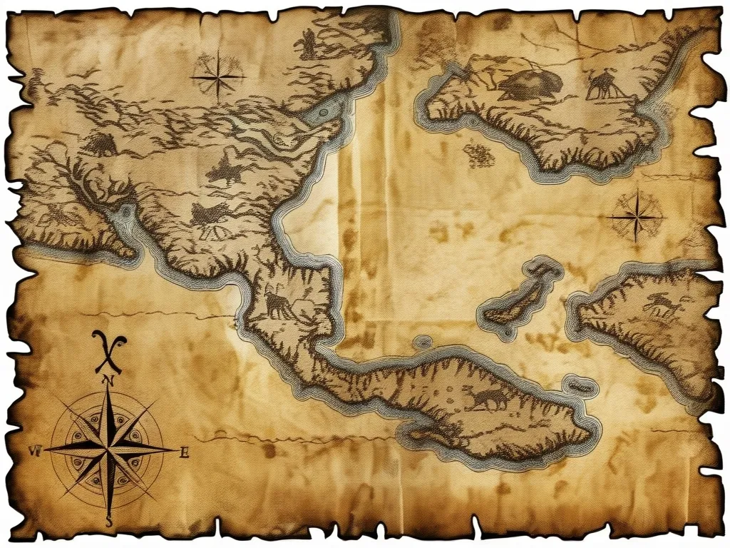
As I delve into the fascinating world of ancient cartography, one map stands out for its enigmatic and precise depictions of lands that were supposedly unknown at the time of its creation: the Piri Reis map of 1513. This early 16th-century world map, crafted by the Ottoman admiral and cartographer Piri Reis, has been a subject of intense scrutiny and speculation among historians, conspiracy theorists, and anyone intrigued by the mysteries of the past.
The Discovery and Significance
The Piri Reis map was rediscovered in 1929 in the Topkapı Palace Library in Istanbul, a find that sent ripples through the academic and historical communities. This map is a fragment, approximately one-third of the original, but it is enough to reveal the remarkable cartographic skills and knowledge of its creator. It is a portolan chart, a type of map used for navigation by dead reckoning, adorned with compass roses and a windrose network rather than the modern grid of longitude and latitude.
What makes this map so intriguing is its detailed and accurate depiction of the coastlines of South America, particularly the region around Brazil, and even what appears to be the southern coast of the Atlantic, which some interpret as Antarctica. These depictions are astonishingly precise, considering the limited knowledge of these regions at the time.
The Sources of Piri Reis’s Knowledge
Piri Reis himself provided some clues about the sources he used to create his map. He mentioned consulting twenty charts and mappae mundi, eight Jaferiyes (geographical treatises), an Arabic map of India, four newly drawn Portuguese maps of Asia, and a map by Christopher Columbus of the West Indies. One of the most significant sources was likely a map from a Spanish sailor who had accompanied Columbus on his voyages and was captured by Piri Reis and his uncle, Kemal Reis.
This Spanish sailor’s map would have been invaluable, as it would have included details from Columbus’s third voyage, which Columbus himself had sent to Spain in 1498 but has since been lost. Piri Reis’s map, therefore, serves as a window into what Columbus might have recorded during his explorations.
The Enigma of South America and Antarctica
One of the most puzzling aspects of the Piri Reis map is its depiction of the southern coast of South America and what some believe to be Antarctica. The accuracy of these depictions raises several questions. How could Piri Reis, an Ottoman admiral who never traveled to these regions himself, have such detailed knowledge?
Some theories suggest that Piri Reis must have had access to older, lost maps that predated his time. Others propose more exotic explanations, such as the influence of advanced ancient civilizations or even extraterrestrial beings. While these theories are intriguing, they remain speculative and lack concrete evidence.
The Influence of Islamic Cartographic Traditions
Piri Reis’s work was not isolated from the broader Islamic cartographic traditions of his time. His map reflects a blend of classical Islamic mapping techniques and the new information flooding in from European explorers. The use of compass roses and windrose networks, for example, was common among portolan chartmakers, but the inclusion of detailed notes and explanations in Ottoman Turkish adds a unique layer to his work.
The map also contains iconographic connections to classical Islamic mapping traditions, suggesting that Piri Reis drew from a rich tapestry of medieval Islamic cartography. This blend of old and new knowledge helped him create a map that was both a tool for navigation and a reflection of the expanding world view of the early 16th century.
Personal Insights and Maritime Life
Piri Reis’s life was as fascinating as his map. Born in Gallipoli in the second half of the 15th century, he began his maritime career under the command of his uncle, Kemal Reis, a renowned Ottoman corsair. Piri Reis fought in numerous naval battles and later became a naval commander himself, leading the Ottoman fleet against the Portuguese in the Red Sea and Indian Ocean.
Between his naval adventures, Piri Reis retired to Gallipoli, where he compiled his world map and wrote Kitab-ı Bahriye (The Book of Sea Lore), a comprehensive manual of sailing directions. This period of relative calm allowed him to synthesize the vast amount of geographical information he had gathered, resulting in the creation of his famous map.
The Legacy of Piri Reis
When Piri Reis presented his map to Ottoman Sultan Selim I in 1517, it marked a significant moment in the history of cartography. The Turks now had an accurate description of the Americas and the circumnavigation of Africa, knowledge that was ahead of many European rulers at the time.
Piri Reis’s later work, including a second world map made in 1528, further solidified his reputation as a master cartographer. Although only a fragment of this second map has survived, it covers the northwestern part of the Atlantic and the New World from Venezuela to Newfoundland, as well as the southern tip of Greenland.
Unanswered Questions and Speculations
Despite the extensive research and analysis, many questions about the Piri Reis map remain unanswered. How did he achieve such accuracy in his depictions of South America and Antarctica? What other sources might he have consulted that are now lost to history?
These questions fuel the ongoing debate and speculation surrounding the map. While some theories may seem far-fetched, they underscore the enduring fascination with this cartographic enigma. The Piri Reis map is more than just a historical artifact; it is a window into the past, a testament to the ingenuity and curiosity of early cartographers, and a reminder of the mysteries that still await us in the uncharted territories of history.
A Journey Through Time
As I reflect on the Piri Reis map, I am drawn into a world of exploration and discovery that transcends time. The map is a testament to human curiosity and the relentless pursuit of knowledge. Whether you are a historian, a conspiracy theorist, or simply someone intrigued by the mysteries of the past, the Piri Reis map offers a journey that is both captivating and thought-provoking.
In the end, the Piri Reis map is not just a piece of parchment with ink markings; it is a gateway to understanding the complexities of historical cartography, the intersections of different cultures and knowledge systems, and the enduring allure of the unknown. As we continue to explore and interpret this ancient map, we are reminded that even in the most well-documented histories, there are always secrets waiting to be uncovered.


