Phantom islands have long captured the imagination of explorers, cartographers, and conspiracy theorists alike. These mysterious landmasses appeared on maps for centuries, only to vanish without a trace. Let’s embark on a journey to explore eight of the most intriguing phantom islands that fueled wild speculation and conspiracy theories throughout history.
Our first stop takes us to the misty waters west of Ireland, where the legendary island of Hy-Brasil supposedly lay hidden. Medieval maps depicted this circular island, said to be shrouded in mist for all but one day every seven years. Sailors spoke of an advanced civilization dwelling there, with streets paved in gold and towers reaching to the heavens. Despite numerous expeditions, Hy-Brasil remained elusive. Some theorized it was a mirage, while others claimed it sank beneath the waves. The island’s allure persisted well into the 18th century, inspiring tales of a hidden Atlantis-like paradise.
“The most beautiful things in the world cannot be seen or touched, they are felt with the heart.” - Antoine de Saint-Exupéry
This quote reminds us of the power of imagination in shaping our perceptions of the unknown. Could the enduring myth of Hy-Brasil stem from a collective longing for an idealized society?
Moving to warmer waters, we encounter the curious case of Bermeja. This Caribbean island appeared on maps for centuries, strategically positioned between Mexico and Cuba. Its sudden disappearance in the 20th century sparked intense debate. Some blamed rising sea levels or underwater earthquakes. Others whispered of more sinister explanations. Did the CIA secretly destroy the island to alter maritime boundaries and oil rights in the Gulf of Mexico? The Mexican government even launched expeditions to search for Bermeja, but found nothing but empty ocean where the island should have been.
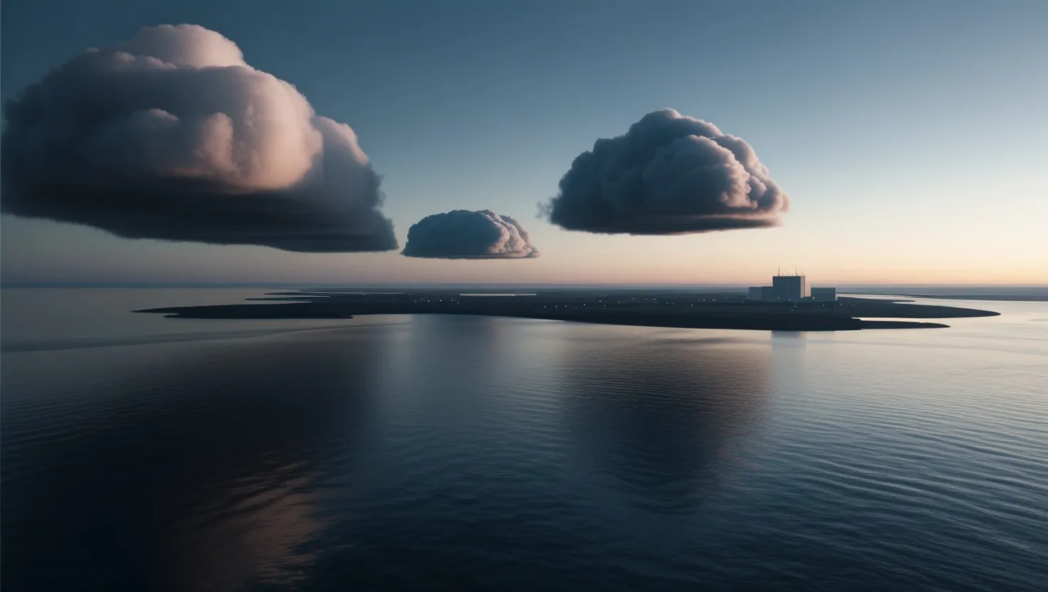
Our next phantom island takes us to the modern era. Sandy Island in the Coral Sea between Australia and New Caledonia appeared on maps and nautical charts until as recently as 2012. How could an island roughly the size of Manhattan simply not exist in our age of satellite imagery and GPS? Its “undiscovery” by scientists aboard a research vessel raised eyebrows. Had the island been eroded away? Was it a deliberate cartographic error to catch copyright infringers? Or was there a cover-up to hide something more mysterious?
Sailing north, we encounter the phantom island of Frisland. This substantial landmass appeared on maps of the North Atlantic for hundreds of years, depicted as larger than Ireland. Explorers claimed to have visited its shores, describing towns and geographical features in detail. Yet, Frisland never existed. Some speculate it was a misplaced or exaggerated depiction of Iceland or the Faroe Islands. Others wonder if it could have been a real island that sank beneath the waves. The persistence of Frisland on maps for centuries raises questions about the reliability of historical cartography and the nature of geographical knowledge.
“The real voyage of discovery consists not in seeking new landscapes, but in having new eyes.” - Marcel Proust
This quote challenges us to consider how our preconceptions and expectations shape what we see – or think we see – in the world around us. How might this apply to the phantom islands that persisted in our collective imagination?
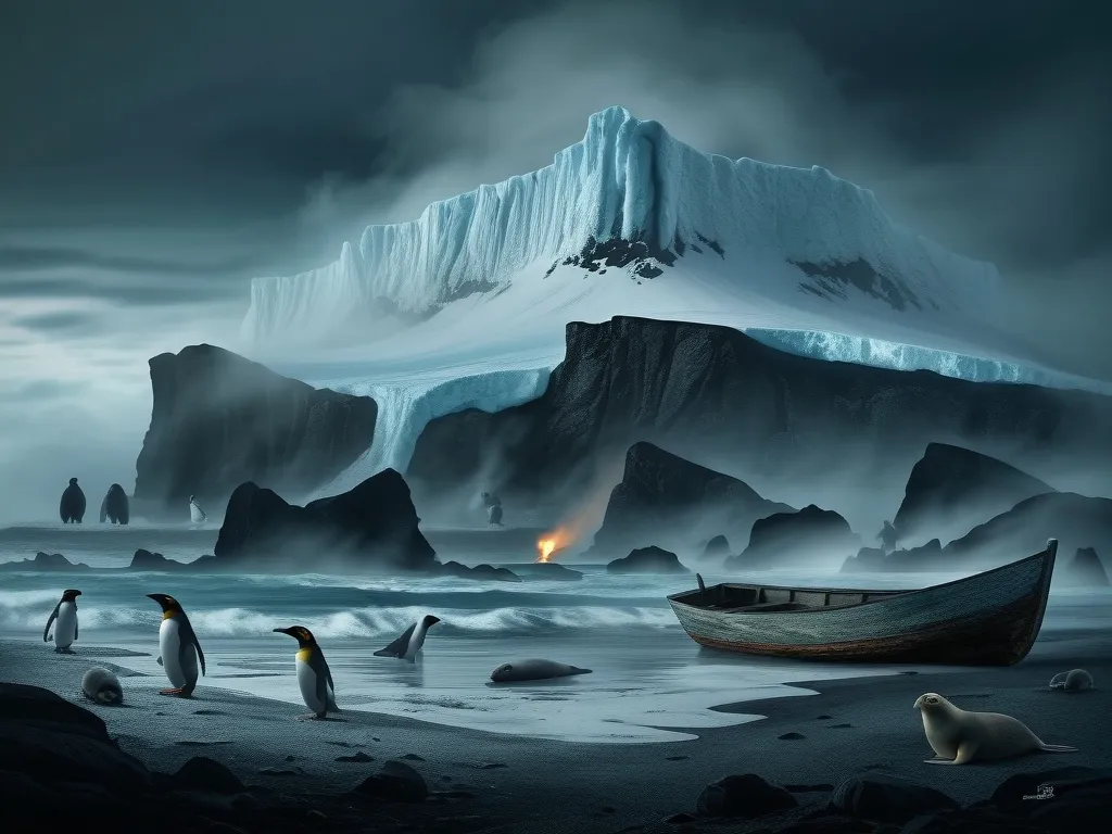
Venturing into colder waters, we encounter the tale of New South Greenland. In the early 19th century, whalers reported sighting a vast continent near Antarctica. This discovery caused a stir in scientific circles, with some speculating it could be the fabled southern continent. Subsequent expeditions failed to locate New South Greenland, leading to theories of icebergs mistaken for land or deliberate deception by whalers seeking to protect their hunting grounds. The phantom continent’s brief appearance on maps highlights the challenges of exploration in extreme environments and the potential for misinterpretation.
Our journey takes an intriguing turn with Busch’s Island, a phantom landmass in the Pacific Ocean that played a role in World War II conspiracy theories. Some claimed this non-existent island was being used by Japanese forces to hide their naval fleet. The persistence of this belief, despite lack of evidence, demonstrates how phantom islands can become entangled with geopolitical anxieties and wartime paranoia. It raises the question: how do we distinguish between legitimate security concerns and unfounded speculation in times of conflict?
The Nimrod Islands present another fascinating case of phantom geography. Multiple sea captains reported sighting this archipelago in the South Pacific during the 19th century. Despite appearing on maps and attracting the attention of explorers, the islands were never found. Some theorized they were the result of volcanic activity, emerging briefly before sinking back into the ocean. Others suggested they were elaborate hoaxes or the product of mass delusion. The Nimrod Islands remind us of the challenges in verifying geographical claims in an era before satellite imagery and global positioning systems.
Our final stop takes us to the far north, where the legendary island of Thule has captivated imaginations for millennia. Ancient Greek explorer Pytheas claimed to have reached this northernmost land in the 4th century BC. Over time, Thule became associated with various locations, from Norway to Iceland to Greenland. Its shifting identity and elusive nature made it a symbol of the ultimate frontier, the edge of the known world. Even today, the concept of Thule continues to inspire speculation about hidden lands and lost civilizations in the Arctic.
“The world is a book and those who do not travel read only one page.” - Saint Augustine
This quote speaks to the human drive for exploration and discovery. How has this impulse shaped our understanding of geography and fueled beliefs in phantom islands?
As we reflect on these eight phantom islands, we’re left with more questions than answers. Why did these non-existent landmasses persist on maps for so long? What does their endurance tell us about human nature and our relationship with the unknown?
Perhaps phantom islands serve as a canvas for our collective hopes, fears, and imaginations. They represent the tension between the known and the unknown, the mapped and the unexplored. In an age of Google Earth and GPS, do we still have room for mystery in our understanding of the world?
The stories of these phantom islands remind us that maps are not just objective representations of reality, but cultural artifacts that reflect the beliefs, aspirations, and limitations of their creators. They challenge us to think critically about the information we receive and the sources we trust.
As we continue to explore our planet and push the boundaries of knowledge, it’s worth remembering that there may still be surprises waiting to be discovered – or undiscovered. The enduring fascination with phantom islands speaks to a deep-seated human desire for wonder and the unknown. In a world that sometimes feels fully charted and explained, these elusive landmasses offer a glimpse of the mystery and possibility that once characterized our view of the globe.
What phantom islands capture your imagination? Do you think there are still undiscovered lands waiting to be found, or have we truly mapped every corner of our planet? As we ponder these questions, we’re reminded that the greatest frontiers may lie not just in the physical world, but in the realms of human knowledge and understanding.